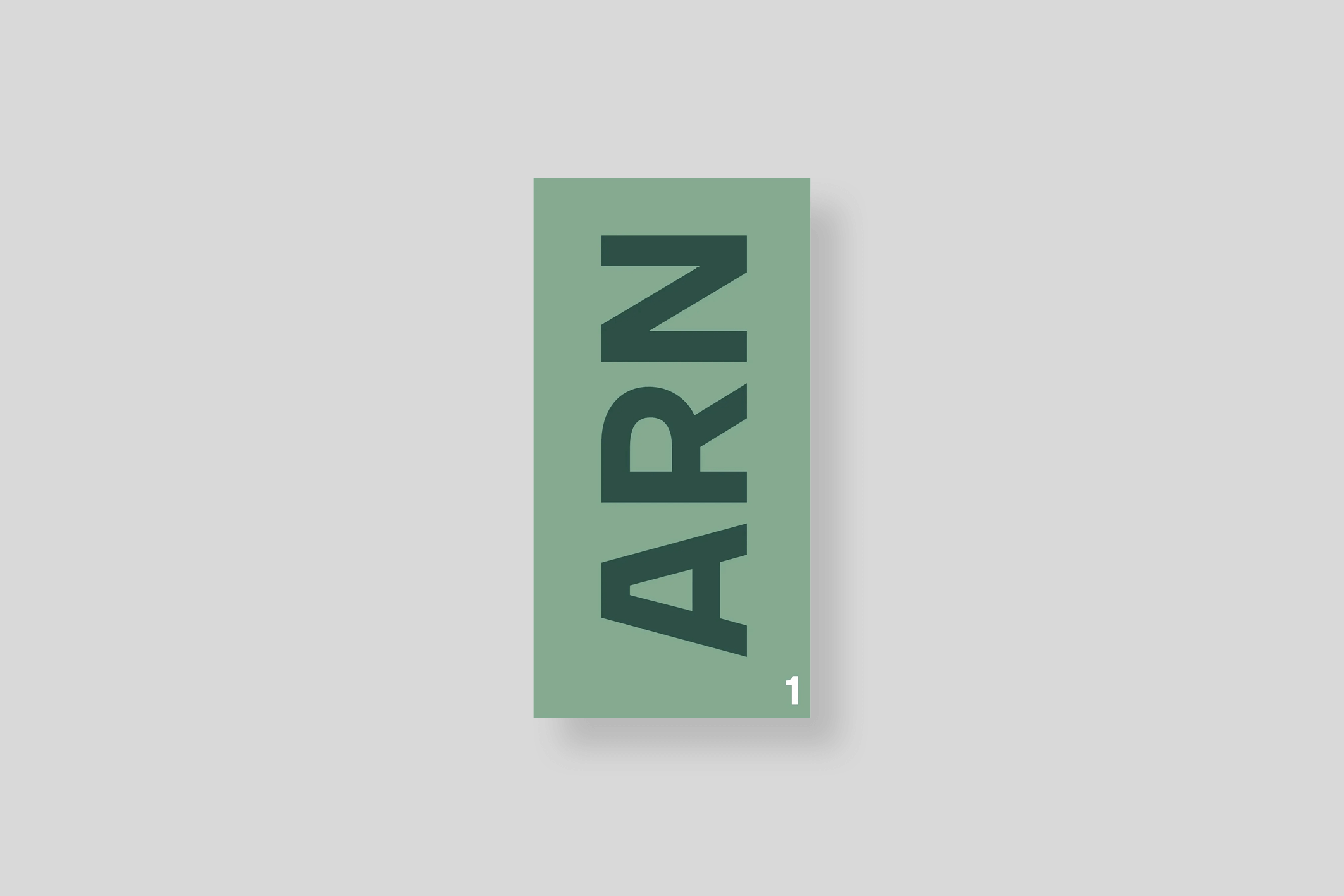
ARN VOL.1 (Poche)
24,00€


In stock
Standard delivery 3 to 7 days
Publication date : 2023/05/01
Weight 1300 g / Dimensions 17 x 32 cm / 384 pages
ISBN 9782490140411
With this fourth part of the Atlas des Régions Naturelles, Eric Tabuchi and Nelly Monnier continue their long-term project started in 2017: the global documentation of the 450 natural regions—or “countries”—that make up the French territory. An extraordinary photographic adventure destined to unfold over several years, at the rate of a publication every six months.
By crisscrossing these small geographical and cultural entities that have sometimes fallen into disuse in the face of the administrative division of the Hexagon, the duo collects the visual elements of what constitutes a region. They combine both the particularities of man—traditional architecture, place names, local aesthetics, traces of history—and natural motifs, such as reliefs, landscapes, colors, vegetation, etc.
In 384 pages and more than 500 images, the Atlas des Régions Naturelles Vol.4 brings together 12 “portraits” of natural regions, punctuated by 4 thematic entries. Like each volume, the work is accompanied by a map as an index at the end of the volume.
Chapters of the fourth volume:
Argonne, Bresse bourguignonne, Champagne berrichonne, Écussons, Crau, Flandre maritime, Grand Ried, Garage, Minervois, Perthois, Plateau de Saint-André, Silos, Saintonge romane, Vallespir, Velay, Tours Eiffel.